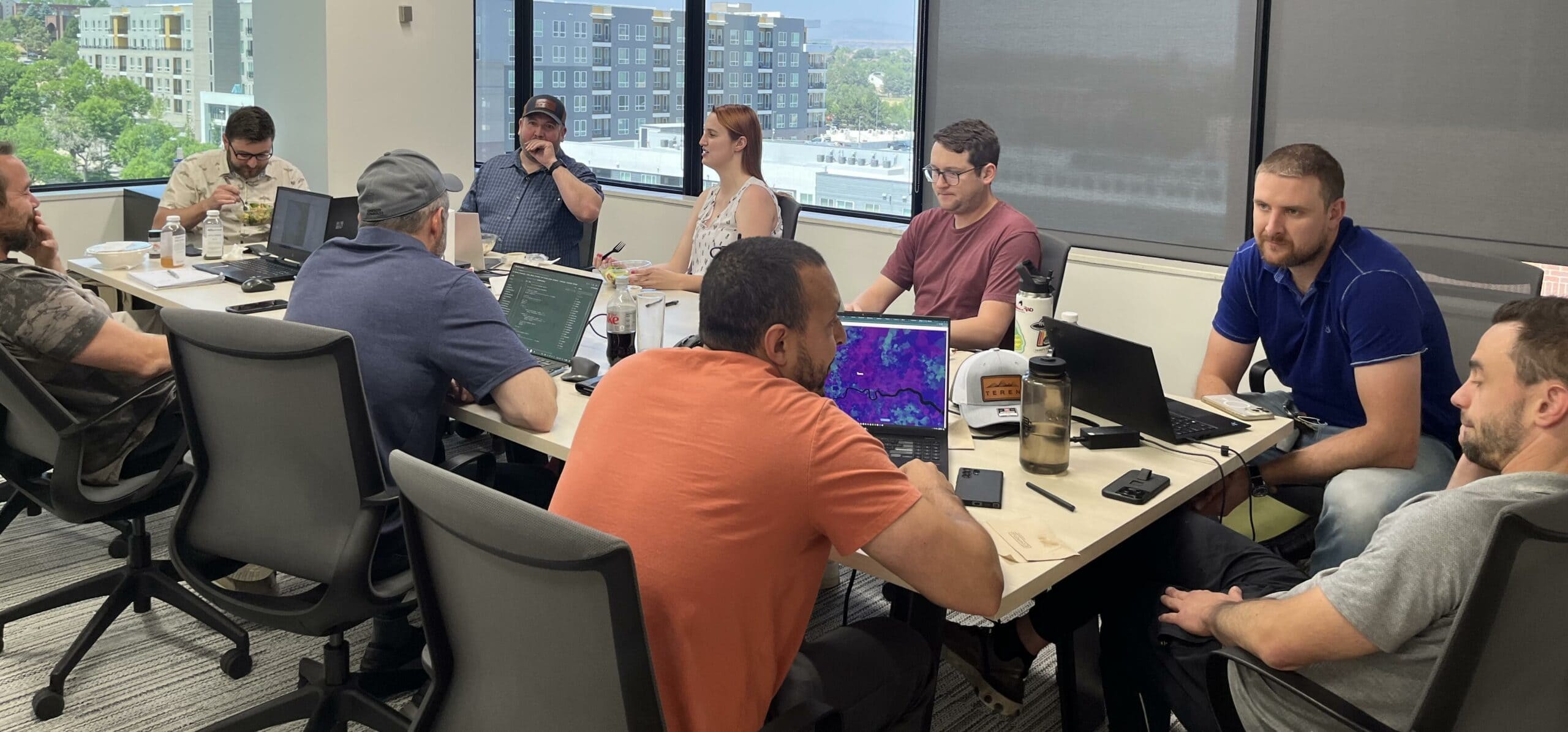
We’re Team Teren

Our Mission

We transform data into solutions that create a safer and more sustainable planet.

+96

Customers served

+90

Years remote sensing experience

+100

years earth science/GIS experience

+50

Years HPC/Machine learning experience

Case Study Customer Story Geospatial Analytics Land Reclamation

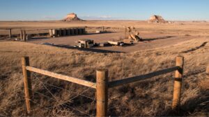
Transforming Well Pad Reclamation in Colorado’s DJ Basin

Learn how a major well pad operator has leveraged Teren’s environmental intelligence to become a [...]

Big Data Change Detection Forestry Geohazards Geospatial Analytics Knowledge Hub Remote Sensing Terrain Vegetation Management Wildfire

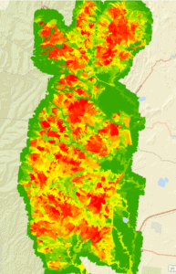
10 Game-Changing Analytics for Modern Forestry and Land Stewardship

In the ever-evolving field of land and forestry management, the ability to analyze and interpret [...]

Artificial Intelligence Forestry Geospatial Analytics Knowledge Hub Regulations Vegetation Management Wildfire

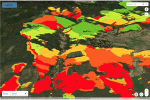
Policy Update: Two Major Legislative Wins for Wildfire Technology & Management

The wildfire management policy landscape is evolving rapidly with two recent significant legislative advancements at [...]

Big Data Climate Change Debris Flow Forestry Geohazards Geospatial Analytics Pipeline Remote Sensing Soil Surface Hydrology Vegetation Management Weather

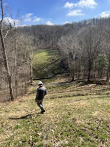
From Polar Bears to Landslides: A Geomorphologist’s Quest to Solve Nature’s Greatest Mysteries Through Soil

In his 25+ years as a geomorphologist, soil scientist and quantitative spatial ecologist, John Norman [...]

Teren News Teren Products Webinar

Introducing Teren’s Bi-Weekly Live Demos: Your Gateway to Advanced Environmental Intelligence

We’re excited to announce the launch of Teren’s bi-weekly live product tours! These live demos [...]

Climate Change Geospatial Analytics InsureTech Lidar Regulations Remote Sensing

6 Key Analytics for Insuring Properties in Hazard-Prone Markets

Insuring properties in hazard-prone markets, such as homes located near wildfire risk areas, requires a [...]