TEREVUE
Category Archives: Geospatial Analytics
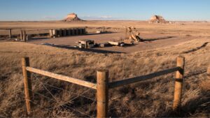
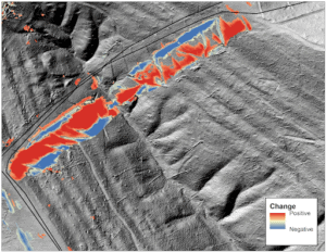
Transforming Well Pad Reclamation in Colorado’s DJ Basin
Learn how a major well pad operator has leveraged Teren’s environmental intelligence to become a [...]
Oct
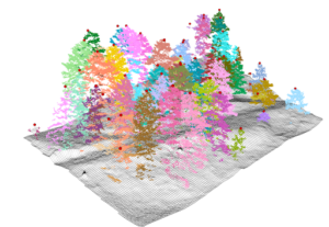
10 Game-Changing Analytics for Modern Forestry and Land Stewardship
In the ever-evolving field of land and forestry management, the ability to analyze and interpret [...]
Oct
Policy Update: Two Major Legislative Wins for Wildfire Technology & Management
The wildfire management policy landscape is evolving rapidly with two recent significant legislative advancements at [...]
Oct
From Polar Bears to Landslides: A Geomorphologist’s Quest to Solve Nature’s Greatest Mysteries Through Soil
In his 25+ years as a geomorphologist, soil scientist and quantitative spatial ecologist, John Norman [...]
Oct
6 Key Analytics for Insuring Properties in Hazard-Prone Markets
Insuring properties in hazard-prone markets, such as homes located near wildfire risk areas, requires a [...]
Sep
These are the top 7 analytics you should be tracking to protect your utilities against the environment
As environmental factors increasingly impact utility infrastructure, integrating advanced environmental analytics into utility providers’ safety [...]
Aug
Fundamentals of Geospatial Data Science (for the Non-scientist)
The article lays out the basics of geospatial data for the non-scientist.
Jul
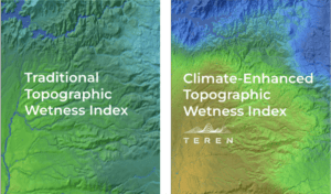
Elevating the Traditional Topographic Wetness Index with Teren’s Climate-Enhanced TWI
What is TWI? The Topographic Wetness Index (TWI) has long been a staple in modeling [...]
Jul
From Fire to Future: Using Spatial Analysis Tools for Wildfire Recovery in New Mexico
Wildfires: Balancing Prevention with Post-Fire Response With the ever-expanding 2024 wildfire season is off to [...]
Jul
Teren Applauds Introduction of Modernizing Wildfire Safety and Prevention Act
Teren commends the introduction of the Modernizing Wildfire Safety and Prevention Act of 2024, a [...]
Jun
AI and Data Science: 3 Emerging Trends to Solve Environmental Challenges
Discover how AI is revolutionizing data science. Learn how data analysis and insights from AI [...]
Jun
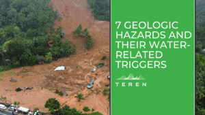
7 geologic hazards and their water-related triggers
Water is a powerful force that shapes our environment and influences a variety of geologic [...]
May
Environmental Twin Webinar Series: Part II
Teren's webinar sheds light on a transformative approach to asset management that leverages Environmental Twins.
Nov
Webinar: Settling the Score on Wildfire Risk
In this webinar, we will examine real-world scenarios where the underlying risk variables impacted the [...]
Oct
Environmental Twin Webinar Series: Part I
Unleashing the Power of Weather & External Force Data to Identify Environmental Threats introduces Teren's [...]
Oct
From Reactive to Proactive Pipeline Integrity Management: A Transformation in Appalachia
The Problem: A Hidden Threat to Critical Infrastructure Eight years ago, Bryan Crowe, a Pipeline [...]
Sep
Coupling High-Fidelity Data & Hydrologic Modeling Expertise for Wetland Restoration
Teren’s high-fidelity data and modeling improved the wetland restoration process for mitigation compensatory bank permitting [...]
Aug
More than Vegetation Management: How One Pipeline Transmission Operator is Leveraging LiDAR to Protect Endangered Species
A case study to identify and prioritize areas for vegetation management and areas to be [...]
Jul
Teren Essentials vs. The Desktop Study: Harnessing Climate-Informed Geospatial Data for Enhanced Asset Resilience
In the face of a changing planet, the ability to harness dynamic data in reference [...]
Jun
How an AI-Driven Approach to Analytics Is Changing the Geospatial Industry
Teren’s AI-driven approach to remotely-sensed data and analytics was featured in a recent article by [...]
Jun
