TEREVUE
Category Archives: Surface Hydrology
From Polar Bears to Landslides: A Geomorphologist’s Quest to Solve Nature’s Greatest Mysteries Through Soil
In his 25+ years as a geomorphologist, soil scientist and quantitative spatial ecologist, John Norman [...]
Oct
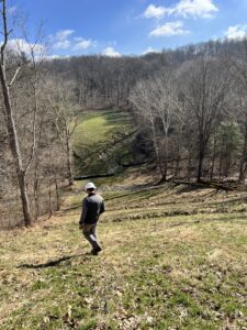
Slope Stability Explained, and It’s Relationship with Landslides
Have you ever wondered what makes a grassy hillside stay put instead of sliding down [...]
Aug
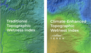
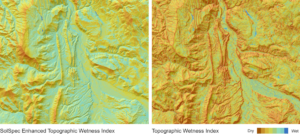
Elevating the Traditional Topographic Wetness Index with Teren’s Climate-Enhanced TWI
What is TWI? The Topographic Wetness Index (TWI) has long been a staple in modeling [...]
Jul
AI and Data Science: 3 Emerging Trends to Solve Environmental Challenges
Discover how AI is revolutionizing data science. Learn how data analysis and insights from AI [...]
Jun
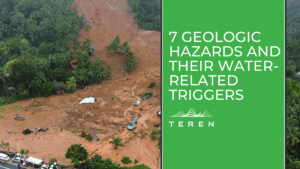
7 geologic hazards and their water-related triggers
Water is a powerful force that shapes our environment and influences a variety of geologic [...]
May
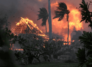
Protecting the Coral Reef in the Wake of the Lahaina Wildfire
Thanks to Teren's data, Maui County strides toward preserving its precious coral reefs, ensuring their [...]
Dec
Coupling High-Fidelity Data & Hydrologic Modeling Expertise for Wetland Restoration
Teren’s high-fidelity data and modeling improved the wetland restoration process for mitigation compensatory bank permitting [...]
Aug
Top 4 Analytics for Renewable Developers
Renewable developers are in a hard space. On the one hand, they are in a [...]
Jul
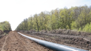
Top 6 External Threat Analytics to Keep Your Pipeline Safe
Traditional pipeline safety and integrity management programs focus on the pipeline itself, yet a pipeline’s [...]
Feb
Teren Awarded USDA Grant to Improve TWI Measure for Soil and Vegetation Delineation
Award from the USDA Natural Resources Conservation Service Teren is pleased to announce our pending [...]
Jan


