TEREVUE

Data. Insights. Intelligence.
For forest, water resource and emergency planners and managers, data science and digital twins are the new necessities for effective, defensible watershed and disaster management decisions.
Harmonized data.
Happier forests.
Healthier watersheds.
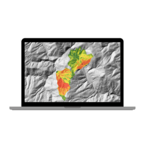
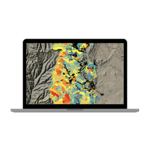
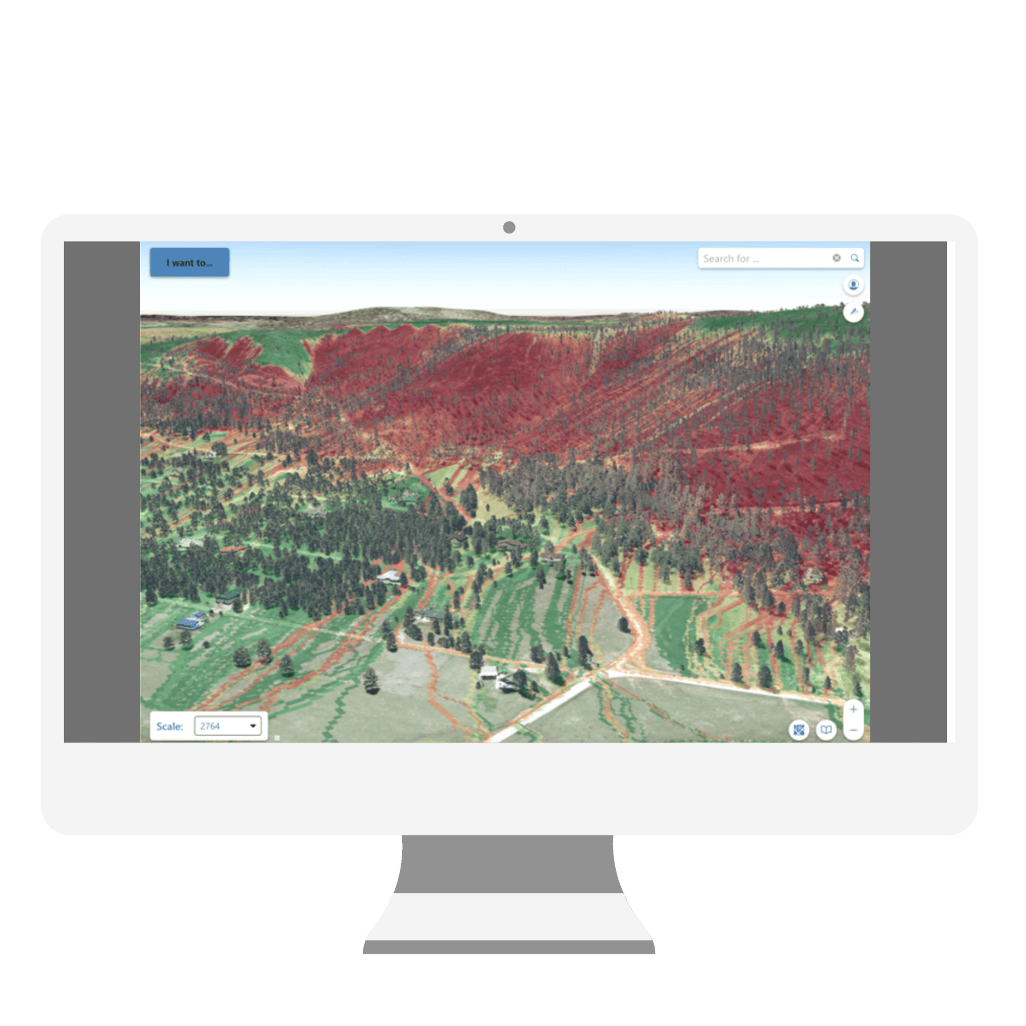
Teren’s suite of actionable forest, watershed and disaster data products harmonize LiDAR data with contextual datasets to create and analyze dynamic digital twins of the natural and human worlds.
.
– DATA PRODUCT SUITE –
The beauty is in the details
Learn more about how Teren’s products harness technology for a robust forest ecosystem and economy.
RISK ANALYSIS, YOUR WAY
Teren provides customizable analysis and integrations to focus on the risk factors that matter most to you.

Emergency Water Protection Coordinator
- Make data-driven treatment decisions to execute stabilization and reclamation efforts with increased efficiency and effectiveness.
- Maximize public benefit while safeguarding the Values at Risk.

Land Manager
- Gain powerful methods for quantifying ecosystem services, hydro-geologic processes, and climate impacts.
- Efficiently pinpoint, anticipate, and mitigate risks from flooding, sedimentation, and debris flows.

Water Resource Manager
- Improve accuracy, speed, and scale of climate-adaptive hydrologic modeling.
- Identify, anticipate, and mitigate risks from flooding, sedimentation, and debris flows.
- Gain insights from high-fidelity, continuous terrain models produced from remotely-sensed data.
TRUSTED BY


Want to see Teren’s data product suite in action? Read these stories.
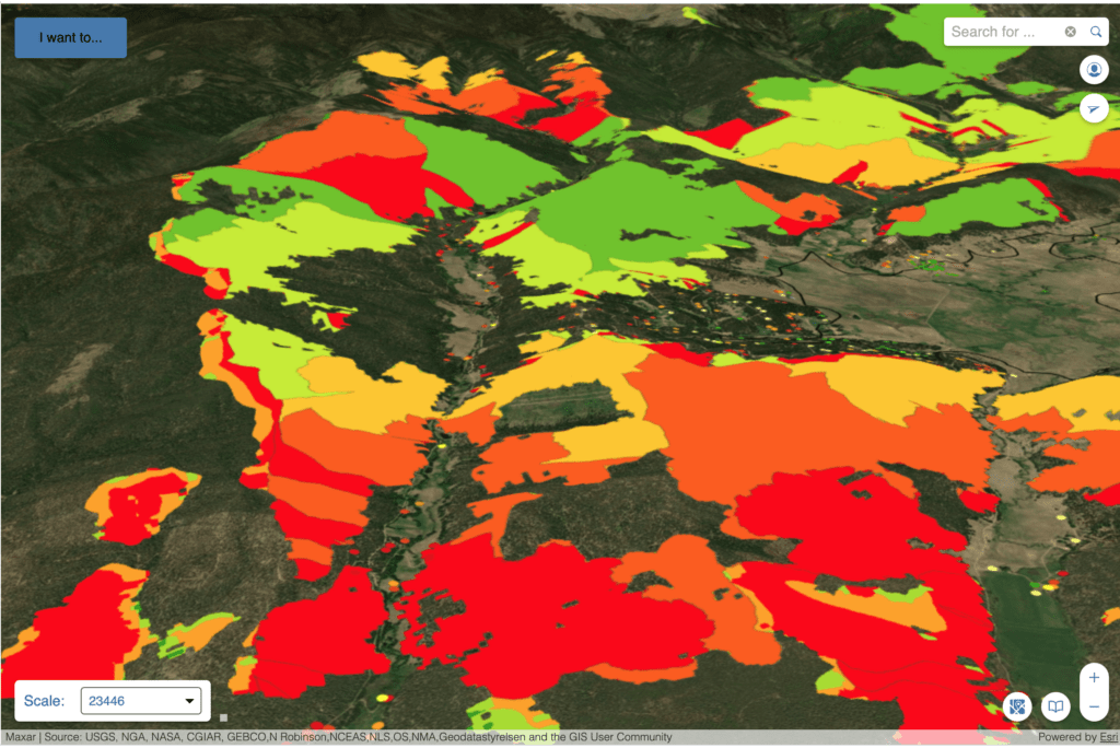
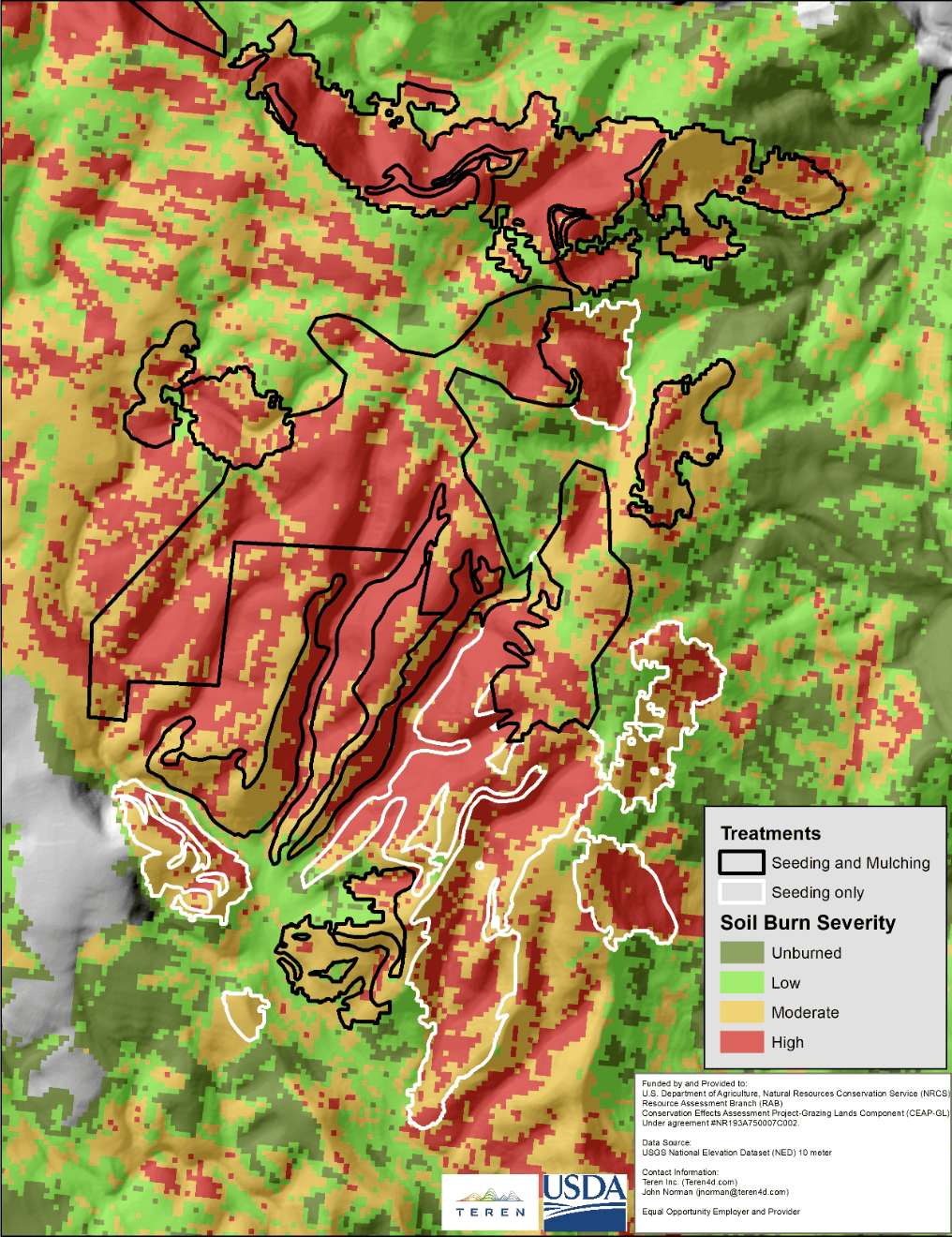
In the post-fire world, spatial analysis is your best friend.
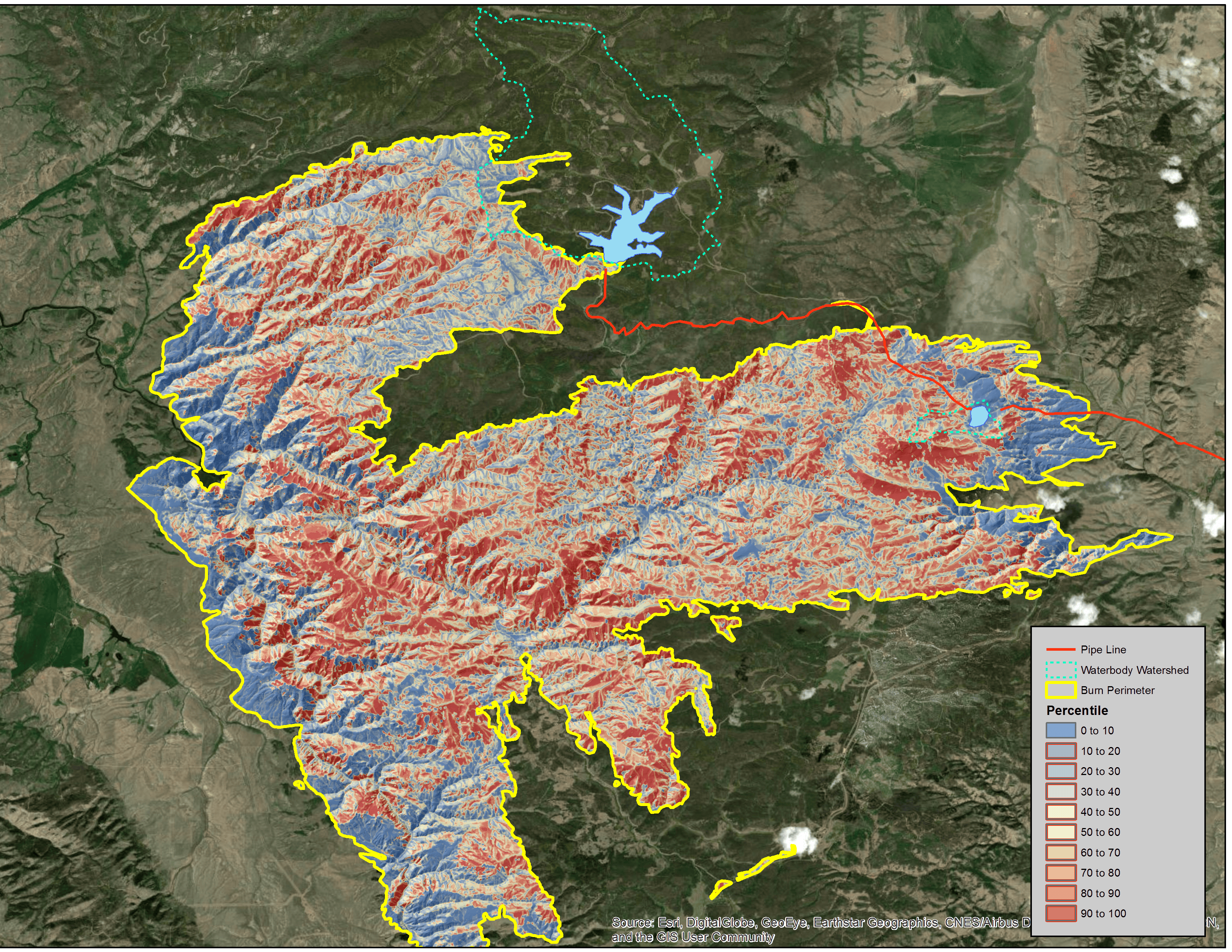
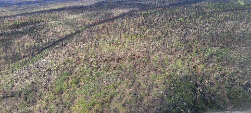
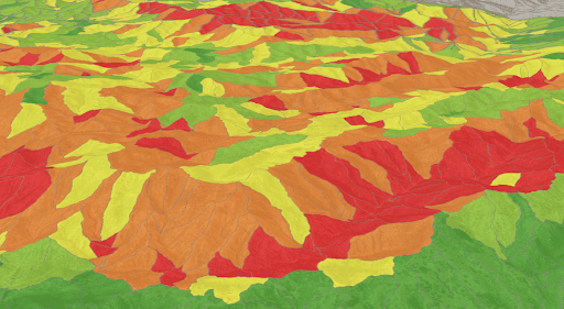
With 341,735 acres to assess, the NRCS came to Teren for a fast, maps-driven quantified recovery prioritization, and got it in 11 days.
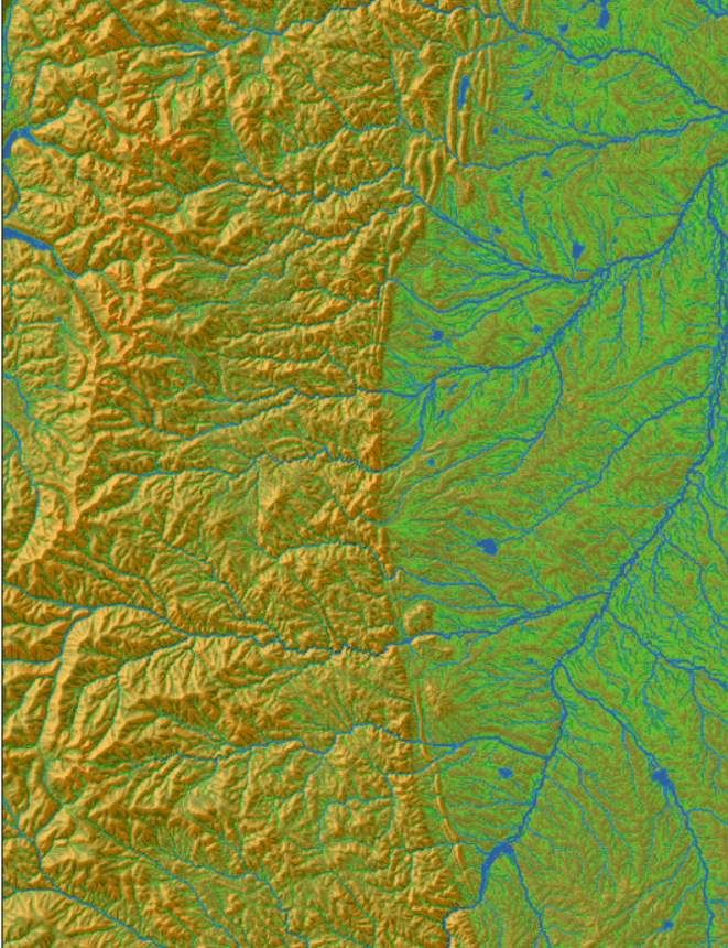
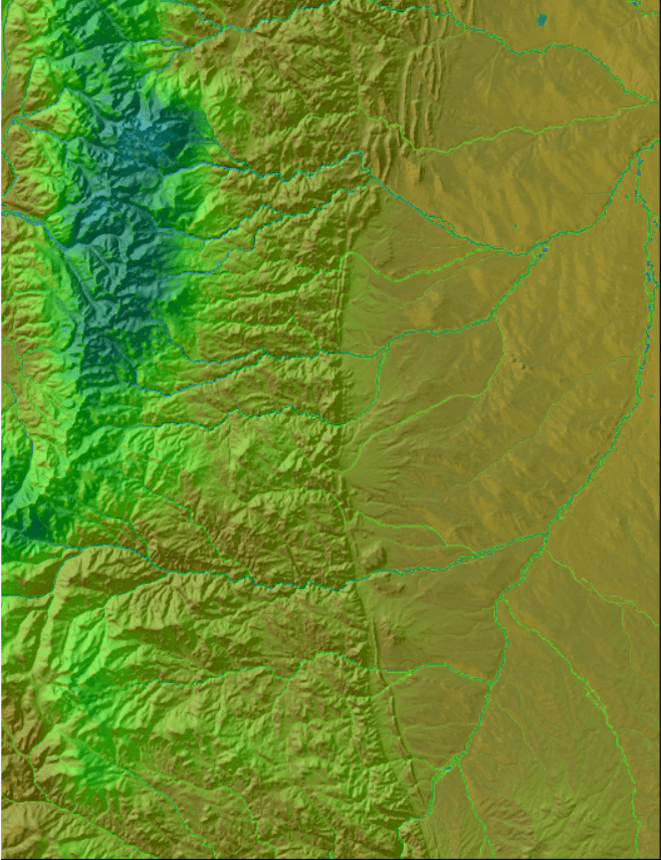
Read MoreWe didn’t like the data out there on real-time surface moisture.
Tired of the shortcomings of the traditional topographic wetness index, Teren decided to engineer a new authoritative model.
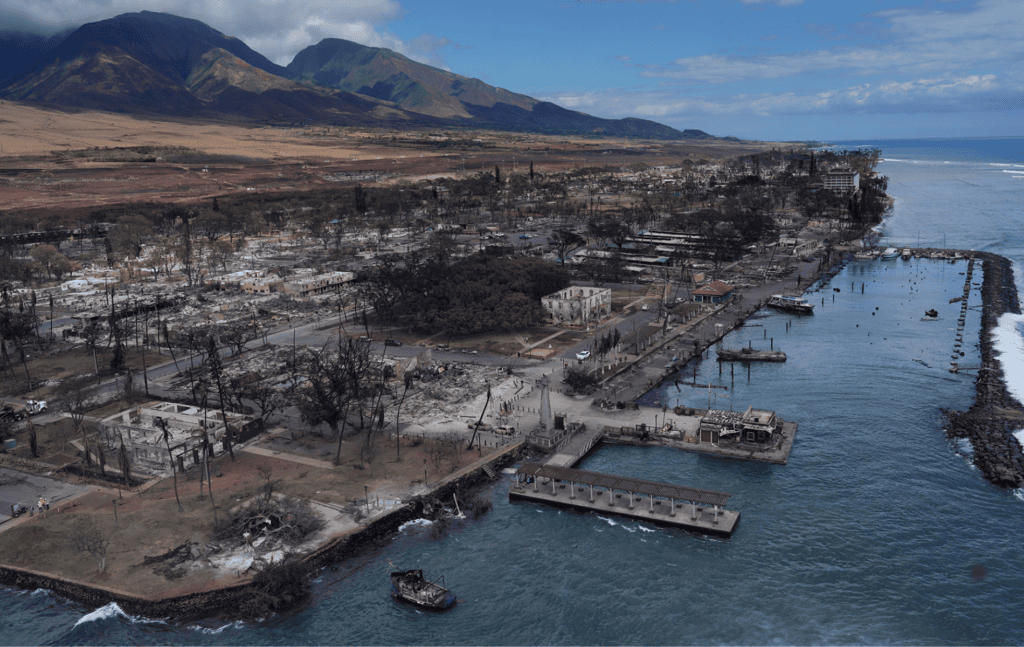
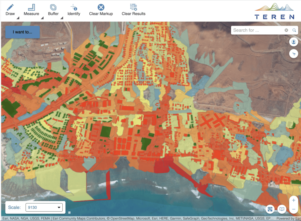
Read MoreLahaina was looking to rebuild and protect its coral reef post-wildfire.
Teren’s integrated approach harnessing photogrammetry data, spatial analysis, and ecosystem science equipped Maui County with the data to do just that.
Read More
– Ready to dive deeper? –
