TEREVUE
Teren Delivers Consistent and Reliable Aerial LiDAR Data and Analytics for Renewable Development Projects
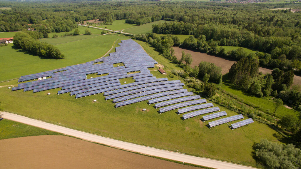
Teren’s streamlined survey-grade aerial LiDAR data acquisition and data-agnostic platform approach allows developers to extract more value from critical LiDAR data at multiple stages of the renewable development project lifecycle – reducing change orders, decreasing budget overages and waste, and keeping projects on schedule.
POWERFUL PROCESSING AT SPEED & SCALE
Fast & Accurate Engineering Topography Data for Renewable Projects
Teren delivers high-accuracy, highly actionable topography and terrain data for large project sites faster than anyone else. We process one-hour of aerial LiDAR collection time in only 10 minutes!
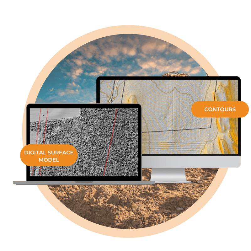
With Teren’s survey-grade engineering data, using remotely-sensed cut/fill data analytics delivered in a fraction of the time, developers can reduce field labor and earthworks costs drastically.
CONSISTENT & RELIABLE RESULTS
Reduce Downstream Variability when Estimating Project Costs
Teren is standardizing the data acquisition, processing, storage, and analysis of remotely-sensed aerial data and satellite imagery for renewable projects. Teren’s cloud-based approach to classifying point clouds and extracting features from LiDAR and photogrammetry ensures consistency, accuracy, and objectivity for cut/fill volume estimations, timber quantities, and stormwater planning.
YOUR PARTNER FOR THE PROJECT LIFECYCLE
Aerial LiDAR Analytics for Every Stage of Solar Development
Reduce change orders, decrease budget overages and waste, and keep projects on schedule. With better aerial LiDAR and topography data accessible throughout the project, you can can make more informed decisions. Teren analytics include:
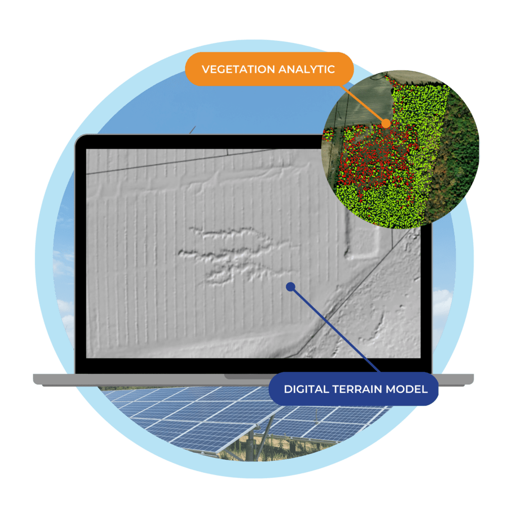
- Digital Terrain & Surface Models
- Contours
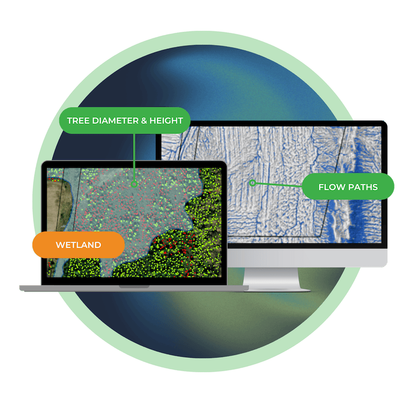
- Problematic Flowpaths
- Surface Hydrology
- Tree Clearing
- Tree Shading
Keep a Pulse on Changing Conditions
Teren provides a single source of truth to reliably monitor the project site and developing assets.
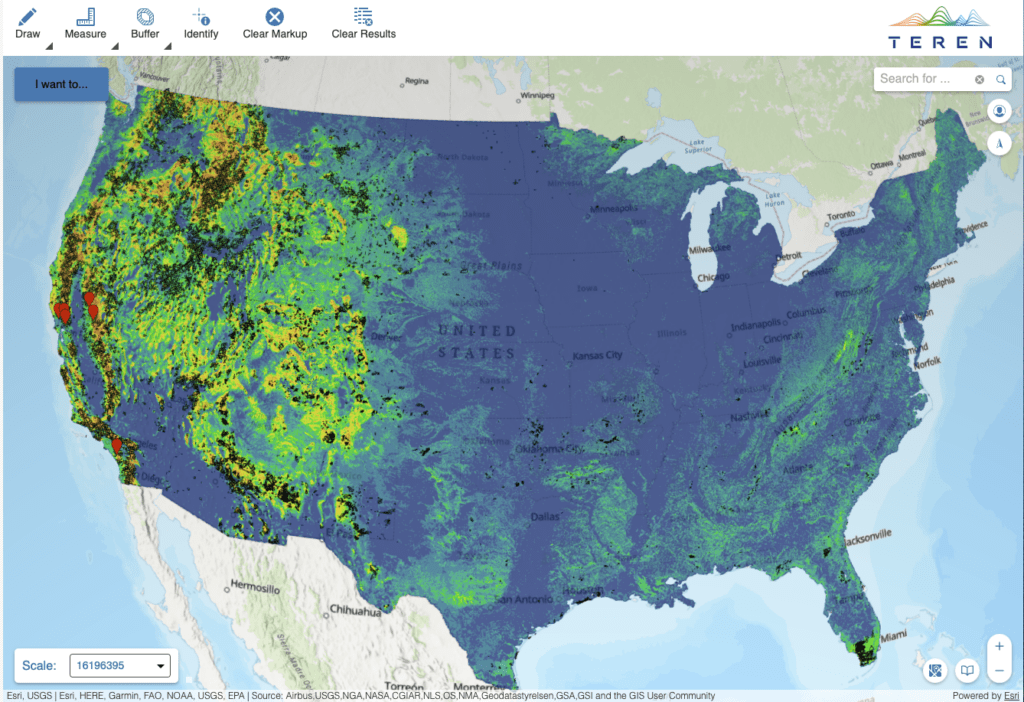
Wildfire Threat Model
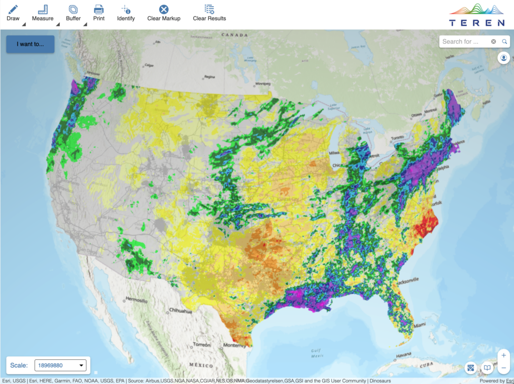
Weather Deviations
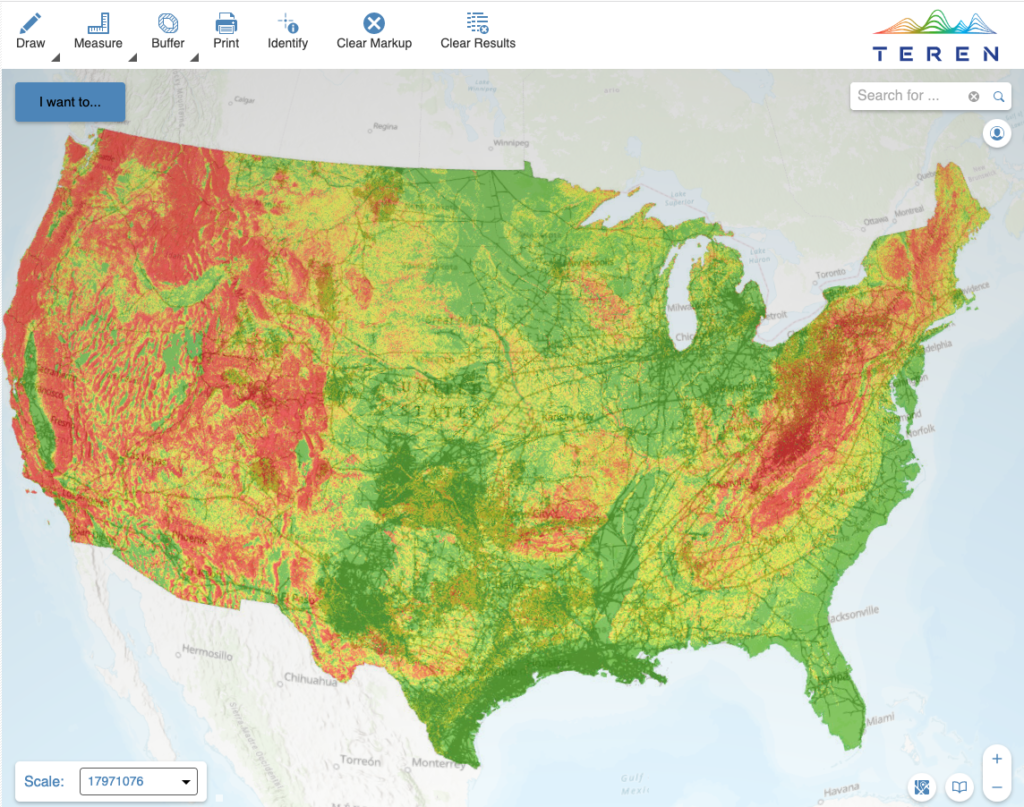
Landslide Threat
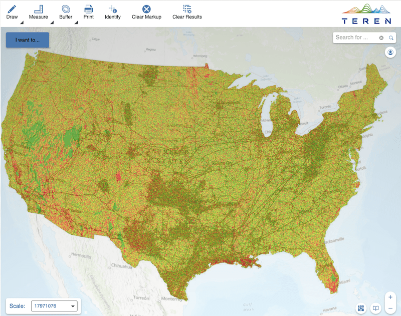
Flooding Risk
Schedule a Meeting
Schedule a meeting with our renewable development experts to learn how Teren can help you turn your remotely-sensed data into an enterprise asset.
Book Now